
About Us
 |
Tony D. Smith Tony is a graduate from California State Polytechnic University, Pomona with a Bachelor of Science in Civil Engineering, emphasis in Geospatial Engineering. Tony has over 25 years broad-spectrum experience in all phases of land surveying and civil engineering; including project management, fundamental engineering, and construction services for projects valued up to and over $250 million. Licensure
|
 |
Victor Ona Victor manages drafting personnel and provides technical survey drafting instruction. Utilizes knowledge and experience in discipline to build a higher level of quality. He focuses on technical methods using computer aided design software and equipment. Victor prepares detailed surveying drawings and maps from field data and/or provided materials. He makes determinations related to company drafting standards and implementation of standard procedures. Victor works directly with company professionals. He performs field reviews of projects and site inspections. He also prepares and updates as-built drawings based on field edits. |
Clients

- General Contractors
- Government Agencies
- Utility Companies
- Engineers/Architects
- Land Developers
- Property Owners
Projects
South Levee Improvement Reach 3
- Army Corp of Engineers Project
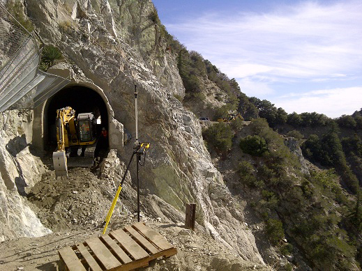
Mt. Lowe Rd, Angeles National Forest
- U.S. Department of Transportation Federal Highway Administration Project
- Topographic survey for design purposes
- Pre & post construction topographic survey for volume calculations
- Construction staking for road construction

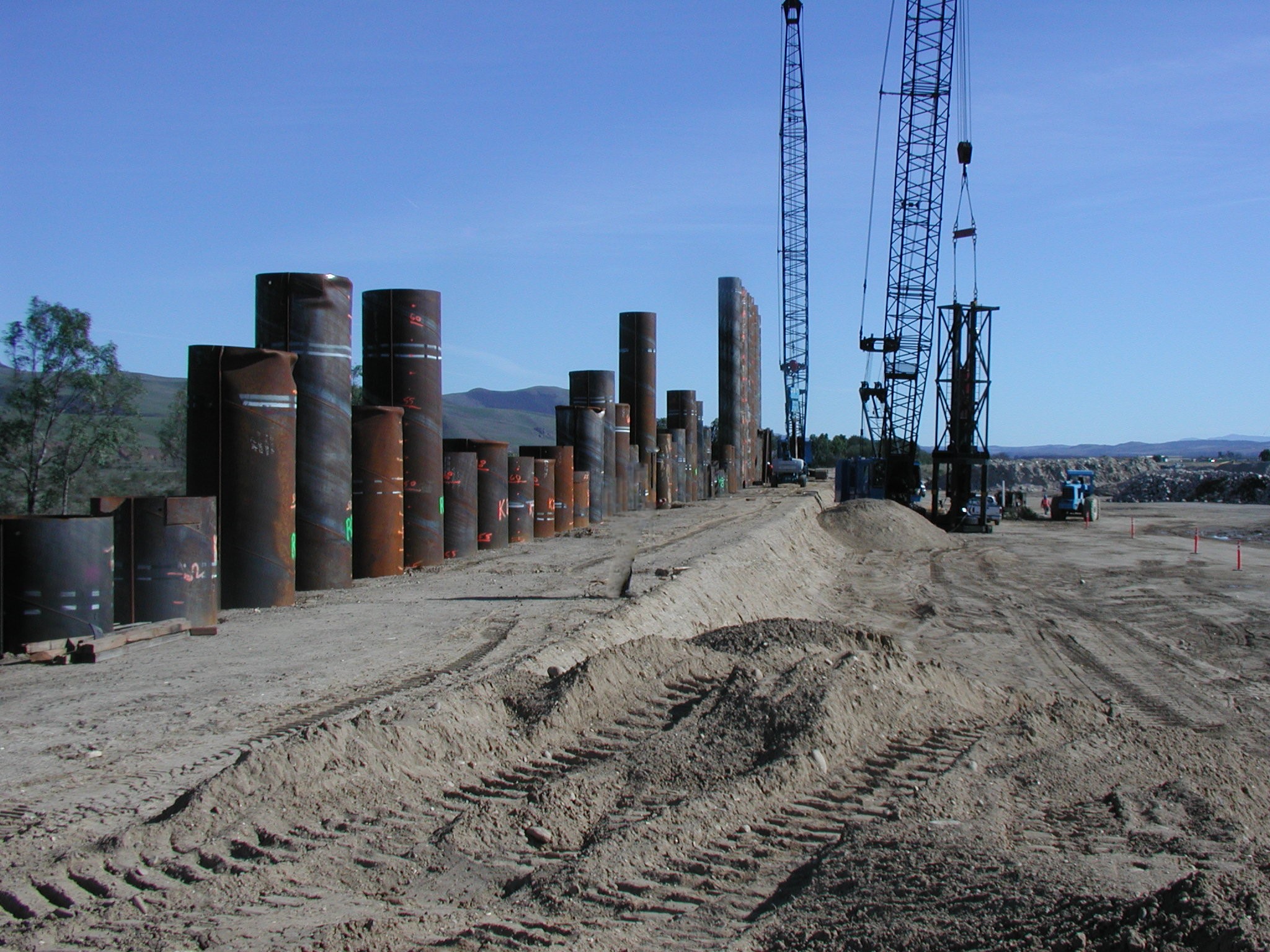
Puente Hills Intermodal Facility (PHIMF)
- Los Angeles County Sanitation Districts Project
- Construction staking for dedicated rail yard which included Maintenance Facility and Administration Buildings, rail improvements, and off-site street improvements.
- Also included 5 miles of rail improvements for additional track. Improvements included railroad track, right of way soldier piles for ground stability, two bridge crossings, and freeway widening
- On Point performed movement and settlement monitoring for freeway overpass widening during construction.
Orange County Great Parks
- Construction staking for improvements and mass grading of 30 acre expansion ($21.5 Million). South Lawn expansion includes four soccer fields, basketball courts, new restroom and operations facility building, jogging trail, several ponds and water features.
- Also included survey for Visitors Center Pavilion, Community Garden, Parking lot Expansion, and Promenade
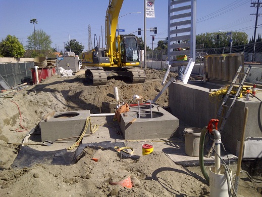
Ranger Sewer Lift Station Replacement
- City of Huntington Beach Project
- Construction staking for new sewer lift station, shoring, and site utilities
- As-built topographic survey for certification of lift station construction
Hotel Amarano, Burbank
- Boundary retracement survey
- Construction staking and displacement monitoring of soldier piles and shoring for basement addition
- Construction staking for guest room addition and pool
- Building foundation certification
Services

- ALTA/ACSM Surveys
- As-built Surveys
- Aerial Survey Ground Control
- Right-of-way Surveys
- Topographic Surveys
- Construction Layout
- Elevation Certificates
- Boundary Surveys
- Tentative Maps
- Parcel Maps/Tract Maps
- Records of Surveys/Corner Records
- Legal Descriptions and Plats
- Construction Certifications
Contact Us

On Point Land Surveying, Inc.
1906 Orange Tree Lane,
Suite 240 Redlands
California 92374
Office: (909) 792-2221
Fax: (909) 784-1836
email: office@onpointlandsurveying.com